


How does vegetation react to environmental change? To understand this, we use ecological field methods, remote sensing and numerical modeling. Besides basic research we develop methods that are applied in land use management or nature conservation.
Active research projects
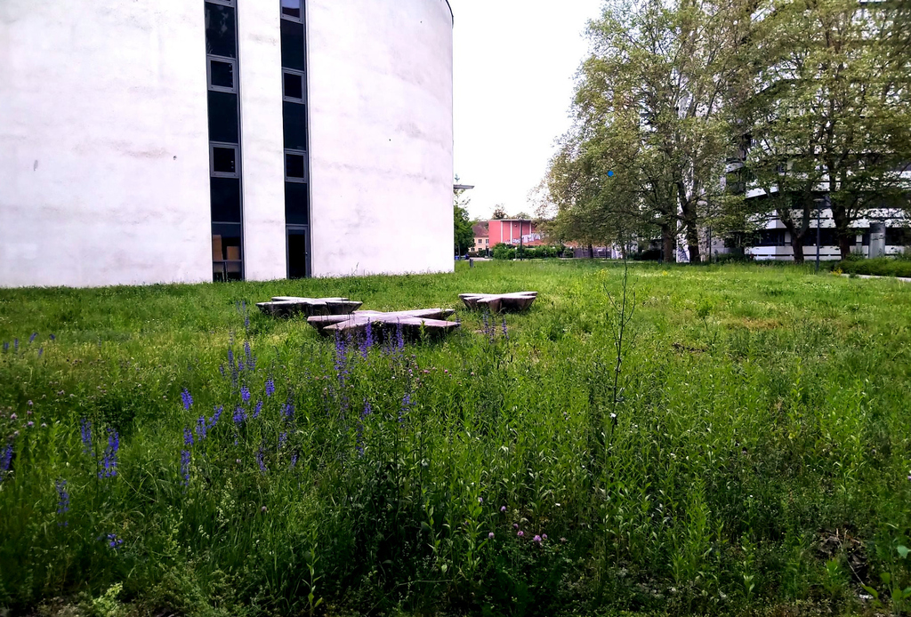
Development of concrete guidelines for the ecological management of grassland and meadows on the KIT campus.
More
In the EUPHORIA project, early career researchers are investigating the phenology of aquatic plants throughout Europe.
More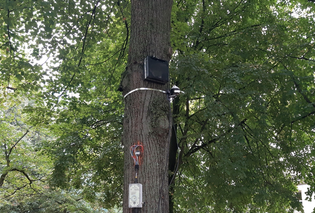
The project will access the health of the urban tree species under the drought stress.
More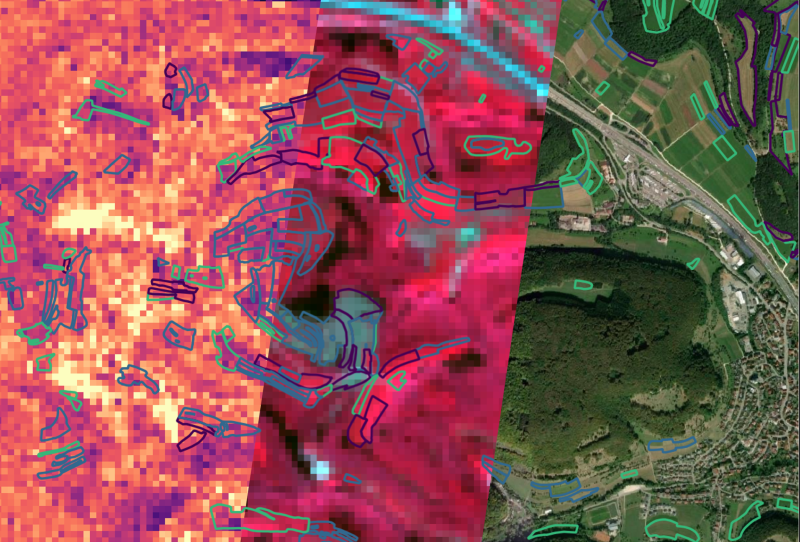
The project aims to develop AI-driven remote sensing products for accurate vegetation mapping using hyperspectral imagery.
MoreAnne-Lewerentz_%40bio.diver.sity_rdax_98s.JPG)
Developing and testing strategies to derive 3d representations of macrophytes using structure from motion
More
A long-term landscape ecological experiment and monitoring programme to determine the impact of elephants on a savanna ecosystem.
More
A long-term project studying spatio-temporal population dynamics of exotic plant species in the Drakensberg, South Africa.
More
Mapping the impacts of soil fertility gradients and long-term soil development on natural forests and shrublands via the relationship between soil resources and plant traits.
More